Value chain resilience
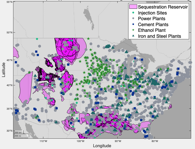
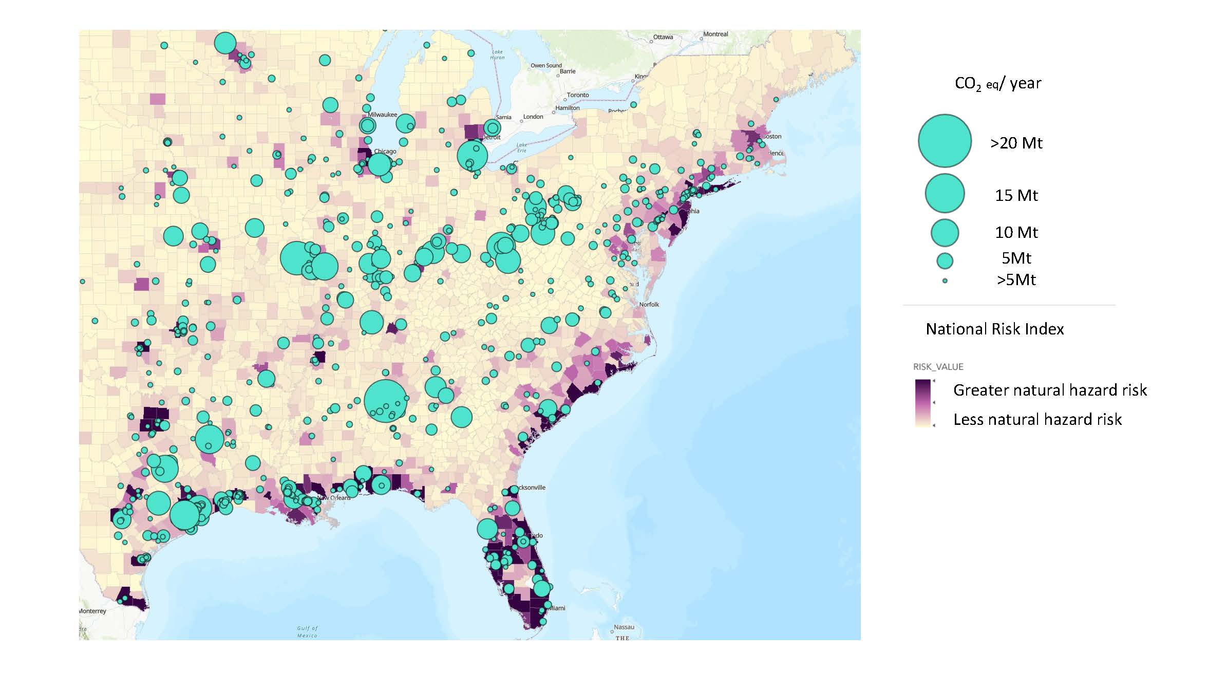
Snapshot of the MCSC’s Interactive Geospatial Mapping Tool created by MCSC Impact Fellow Sydney Sroka.
Global value chains with centralized structures that leverage economies of scale can be particularly vulnerable to disruptions like natural hazards, since a disaster in one critical location can quickly reverberate throughout the entire value chain. Similarly, transition risk drivers like emissions compliance and pricing regulations can vary across a value chain’s sites, but influence the global network. The objective of this impact pathway is to take a value chain-centric approach to climate risk and resilience planning leveraging interdisciplinary, cross-sectoral expertise within the consortium.
Get involved
![]()
Is this area relevant to your company’s climate and sustainability goals?
Find out more about membership.
All of our areas of interest have links to the MCSC Seed Awards projects.
MIT faculty members, researchers, and students interested in this impact area: we’ve got all kinds of ways for you to work with us and our member companies.

Projects
- Interactive Geospatial Map Tool (Sroka)
- The MCSC’s new Interactive Geospatial Mapping Tool helps member companies visualize and understand the barriers to resilience planning and decarbonization. Developed by Sydney Sroka, MCSC Research Scientist, in collaboration with MCSC members and colleagues, the mapping tool hosts a unique combination of data necessary for addressing decarbonization and resilience planning. The mapping tool prioritizes data that support the decisions MCSC member companies felt were inadequately supported by existing tools. It integrates datasets on carbon capture and sequestration infrastructure, electric grid carbon intensity, natural hazard risk, vegetation, transportation routes, and population.
2024
- The impact of weather on the retail industry: long and short-term impacts (Perakis, Tamarin-Brodsky)
- Using data from different types of retailers, this research will develop machine learning models in combination with weather evolution models towards studying the long-, medium-, and short-term effects of weather characteristics on the retail industry, focusing on sales. This research is an important first step towards building a deeper understanding of how weather influences our economy.
2022
- Collaborative community mapping toolkit for resilience planning (Mazereeuw)
- This team is developing a digital toolkit that will leverage internet-connected mobile devices to help collaboratively gather in-depth qualitative and quantitative information about Southeast Asia’s tangible and intangible resilience assets and provide a platform for hyper-local resilience planning.
-
Seed Award Summary
- CP4All: Fast and local climate projections with scientific machine learning — towards accessibility for all of humanity (Hill)
- Climate Projections For All (CP4All) is researching scientific machine learning schemes for the fast generation of synthetic local climate projections for any location on Earth and for any time in the next 70 years. It can provide a prototype tool for use in practical future climate planning, for characterizing climate risk, and for societal understanding and response. The proposed approaches leverage and extend prior work by our team in scientific machine learning for weather and climate modeling that have already proven impactful.
- Toolkit for assessing the vulnerability of industry infrastructure siting to climate change (Howland)
- This team will perform a validation study using publicly available historical data to establish confidence in assessing potential vulnerabilities in future climates, for which we do not yet have validation data. They will perform case studies to assess infrastructure siting locations which are resilient to the effects of climate change through decision-making under uncertainty including realistic costs and constraints.
Contact Us
If you would like more information, please e-mail mcsc@mit.edu.
Member companies participating